Maps Unique… over 4200 waypoints off the Carolinas and N Georgia
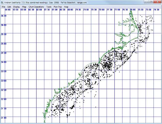
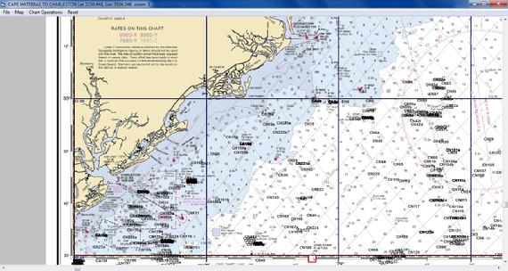
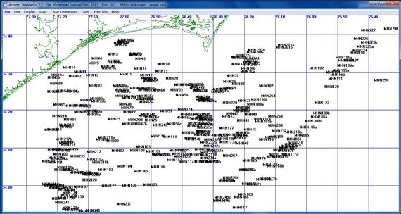
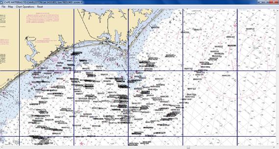
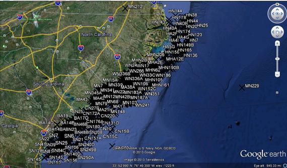
The Maps Unique offering came to this site in 2013 and has been updated to 2023 where it is now used for what’s called Nav Unique. Basically, it consists of a set of files containing the locations of natural bottom formations and of artificial reefs in the Atlantic Ocean off the central US coast from below Savannah to Cape Hatteras. There are over 4000 waypoints in the files with natural bottom and artificial reefs. You can combine this data with your data and pump the combined data into your GPS. If your GPS allows setting up groups, then you can make this data one or more groups. The pictures below shows the distribution of the data on a SeaMarks chart, NOAA map and Google Earth. The files were updated in July of 2022, so that about 1200 waypoints were added to the data base.
This data was collected by Captain Chip Berry of Maps Unique starting in 1988 and has been improved to where it covers a large part of the central east coast. Maps Unique has been selling the waypoints on large format paper charts where the user has had to hand enter the data off the chart into his GPS. With this data base and SeaMarks, you do not have to do any typing to get it into your GPS. See https://www.mapsunique.com/ for more details. These details include a ‘user guide’ that tells how to best use the data.
The Maps Unique data base is a $200 add on to the SeaMarks Program in DBF format.
